NEWS & INSIGHTS
March 13, 2023
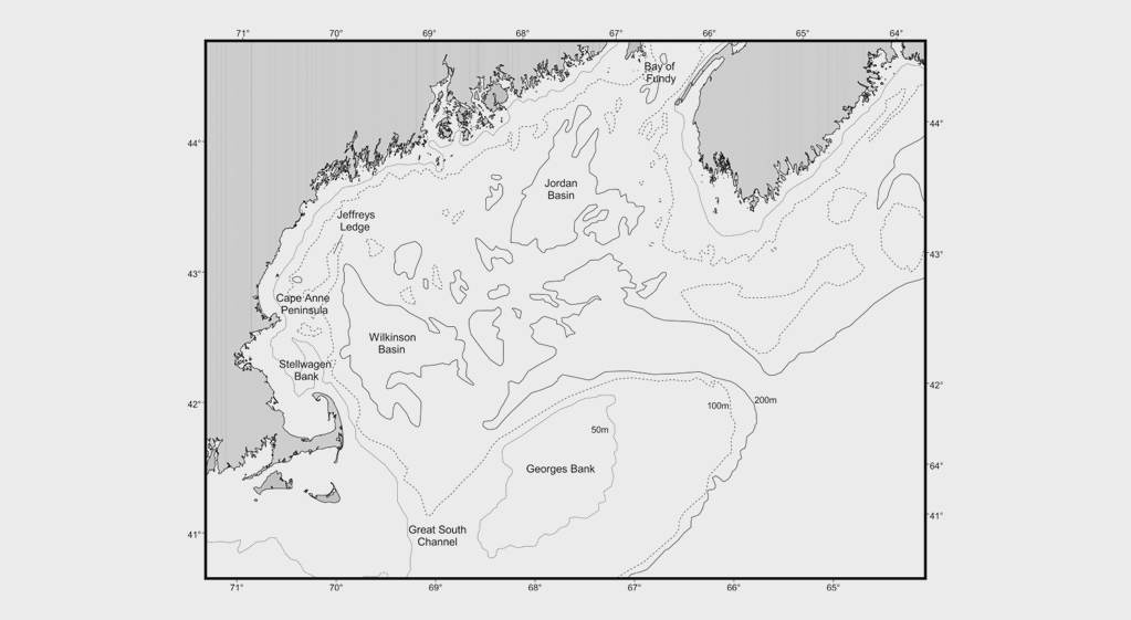
Observations from aerial survey work.
Bluefin tuna (Thunnus thynnus) distribution in relation to sea surface temperature fronts in the Gulf of Maine (1994-1996)
Management of Atlantic bluefin tuna requires the presence of accurate indices of abundance. That is, managers need to have accurate measures of the actual biomass off our shores to predict the future and set realistic quotas. Unfortunately, we have very few indices that are adequate. One of the reasons that we have so few is that is very hard to track these large and mobile fish in real time. Their complex movements are driven by countless factors. While often overlooked, simply counting these fish may be the most difficult goal of all.
This paper is interesting in that it looks closely at past aerial survey work in relation to other measurements—specifically sea surface temperature. The reader can get a glimpse at the difficult nature of aerial survey work, as well as well as an appreciation for the value such work has on understanding the fish when done successfully. You will also gain of a better understanding of why it is so hard to count Atlantic bluefin tuna!